A boundary is only as trustworthy as the data and behavior that create it.
A geofence appears simple on a map: a line the aircraft should not cross. Behind the line are decisions about source authority, coordinate reference, vertical datum, buffer, effective time, update frequency, conflict resolution, and what the vehicle does near or beyond the boundary.
Treat the fence as a controlled dataset. Record provenance, issue and effective dates, geometry version, altitude interpretation, applicable vehicles, validation result, distribution status, and supersession. The flight stack must also define whether the fence warns, prevents arming, reshapes a mission, or triggers a recovery behavior.
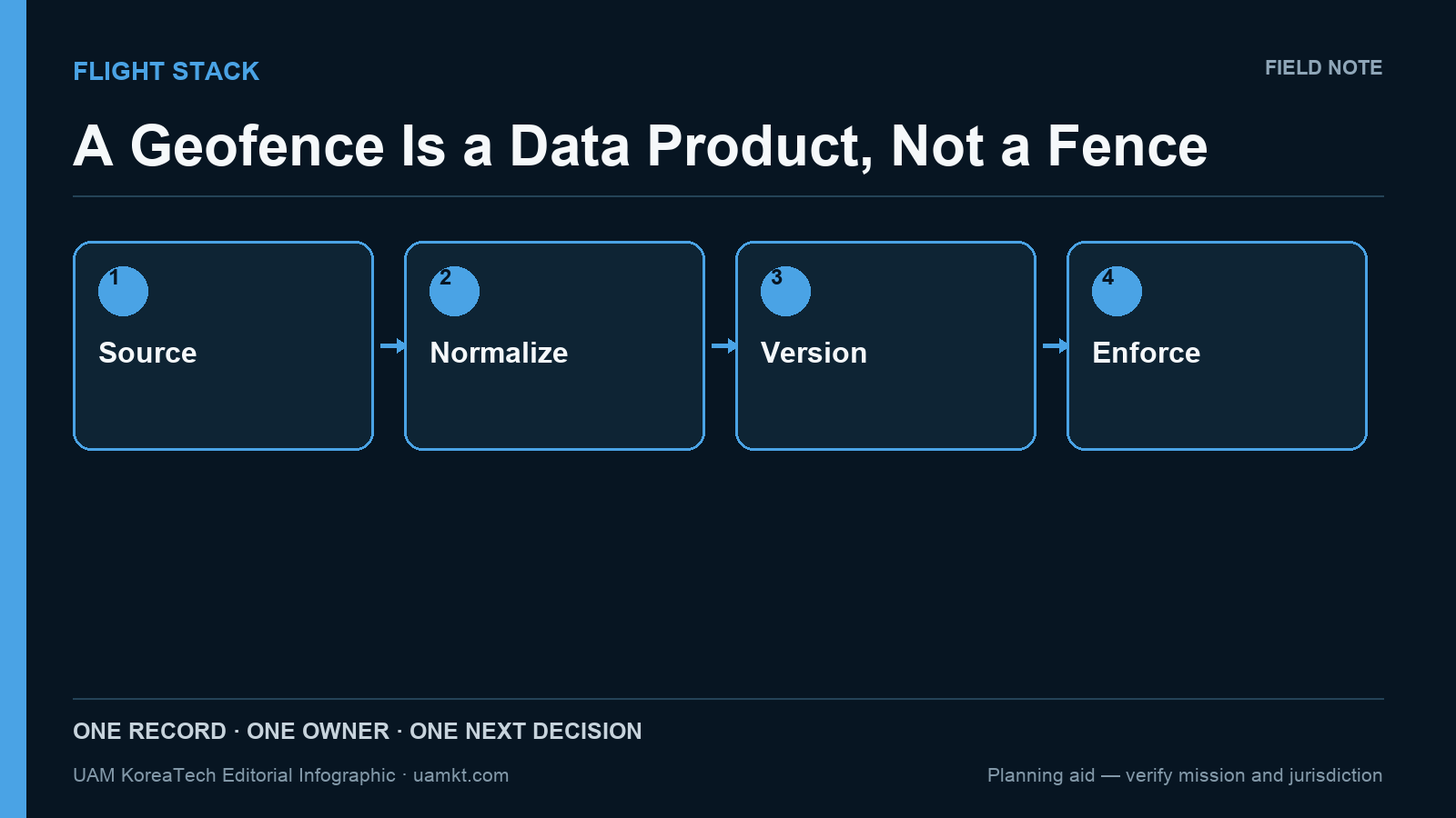
Editorial infographic: Source → Normalize → Version → Enforce. The diagram is a planning aid, not a certification or regulatory determination.
A four-part decision lens
- Identify authoritative source. Make the condition visible in the same record used for the decision.
- Normalize coordinates and altitude. Assign an owner and state what evidence will count as completion.
- Version geometry and effective time. Keep assumptions separate from observed or approved facts.
- Test behavior at boundaries. Test the exception path, not only the preferred operating case.
- Distribute and confirm active dataset. Review whether the control changed the next real decision.
What this looks like in the field
An operator updates a polygon but one ground station retains the previous file. Both screens look plausible. A release manifest and active-version check would make the mismatch visible before dispatch.
A workflow becomes controllable when the team can explain both progression and refusal. It should be clear why work advanced, why it paused, and what evidence would permit a different outcome. This is especially important when schedules create pressure to convert an unresolved condition into an informal acceptance.
Governance before automation
Geofencing is not a substitute for airspace authorization, navigation integrity, or operator responsibility. Buffers and responses should be justified by the operation and confirmed against current applicable rules and source data.
Automate visibility before authority. Reminders, completeness checks, version comparison, and overdue queues can help; release and closure still need an attributable role and an intelligible basis. A fast workflow that hides judgment is harder to govern than a slow transparent one.
The practical test
Review one case that was delayed or overridden. Can the record identify the original trigger, the person with authority, the evidence available at that moment, and the later verification? If not, the organization has stored documents without storing the decision.
Put it to work this week
Find a recurring handoff where two teams interpret readiness differently. Agree on one observable entry condition and one completion artifact, then test them on the next handoff. Keep the disagreement log; it is evidence for improving the rule.
For this topic, use “Identify authoritative source” as the opening prompt and “Distribute and confirm active dataset” as the closure check. Keep both the original and revised record so the team can see whether the intervention reduced ambiguity rather than merely changing vocabulary.
The line on the map is the last step. Assurance begins with knowing who drew it, what it means, and which system version is enforcing it.
For the wider workflow, see the related Flight Stack field note and the UAM KoreaTech books and workbooks.
Source and scope note
This column adapts a decision framework from the Dronology series and Mission Companion release notes. It is educational and vendor-neutral. It does not replace site-specific safety assessment, procurement law, aviation authorization, technical instructions, or professional advice. Useful primary starting points include: